Featured Projects

I'm From Here
In her memoir, Hannah Palmer explores how the growing Atlanta airport erased her childhood homes. This project combines pinpoints with text from her memoir with a 1968 map of the airport.

Stadiumville
The Stadiumville project proposes to document the history and memory of the events and people who have shaped the neighborhoods in what is now Turner Field and the redevelopment of the area as the Atlanta Braves leave for the suburbs.
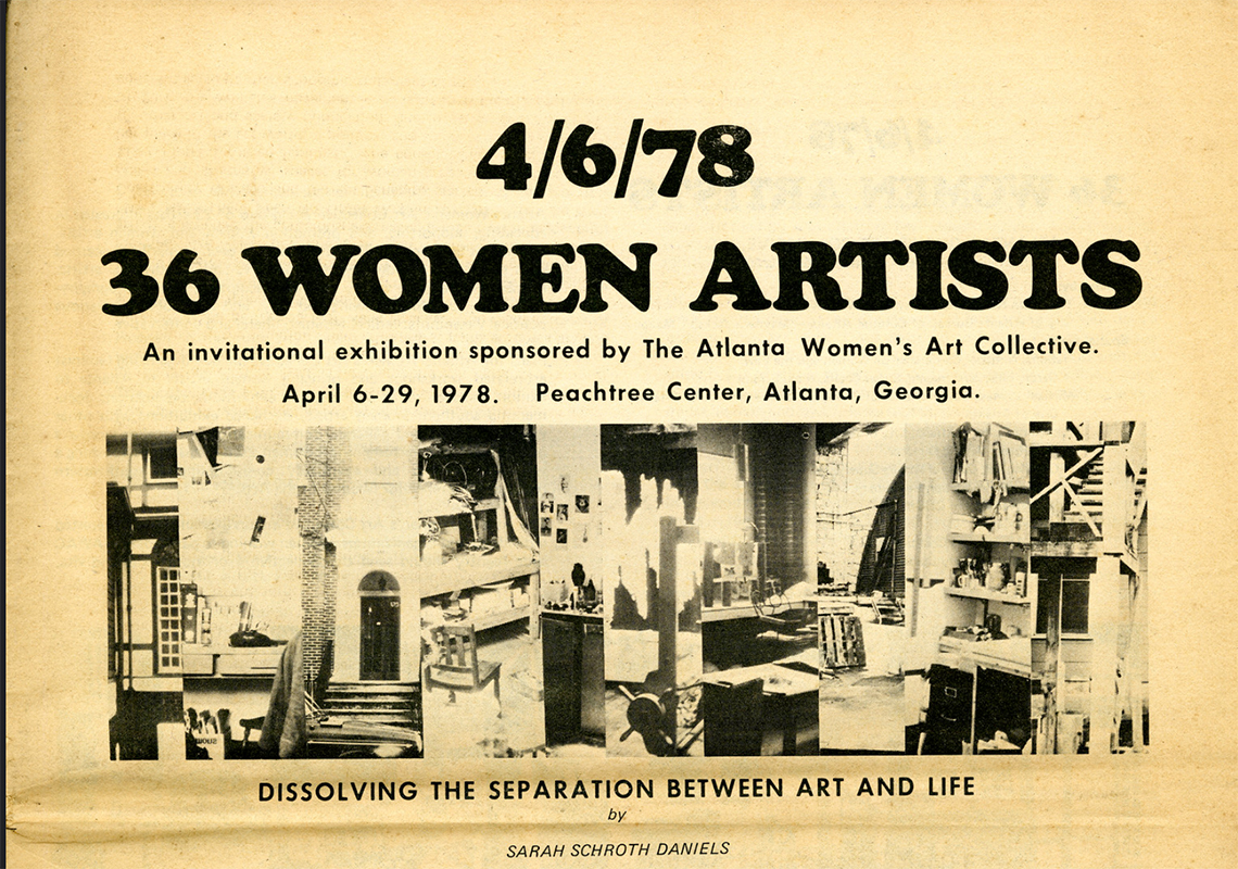
ATLas
Using the memories of eight women from the 1970s Atlanta art scene who continue to shape arts in the city today, Julia Brock (UWG), Teresa Bramlette Reeves (KSU), and Kirstie Tepper (GSU) mapped the places important to the arts world forty years ago.

The Rise and Fall of Atlanta's Skid Row
This map visualizes the mass closure of Single Residency Occupancy hotels in Atlanta between 1970 and 1986. It complements Charles Steffen’s article “The Rise and Fall of Atlanta’s Skid Row” which appears at Atlanta Studies (atlantastudies.org).

Religious Sounds
The Religious Sounds mapping project documents the sounds associated with various religious communities, events, and individual practices in metropolitan Atlanta. Students, supervised by Kathryn McClymond at GSU, made the digital sound recordings.
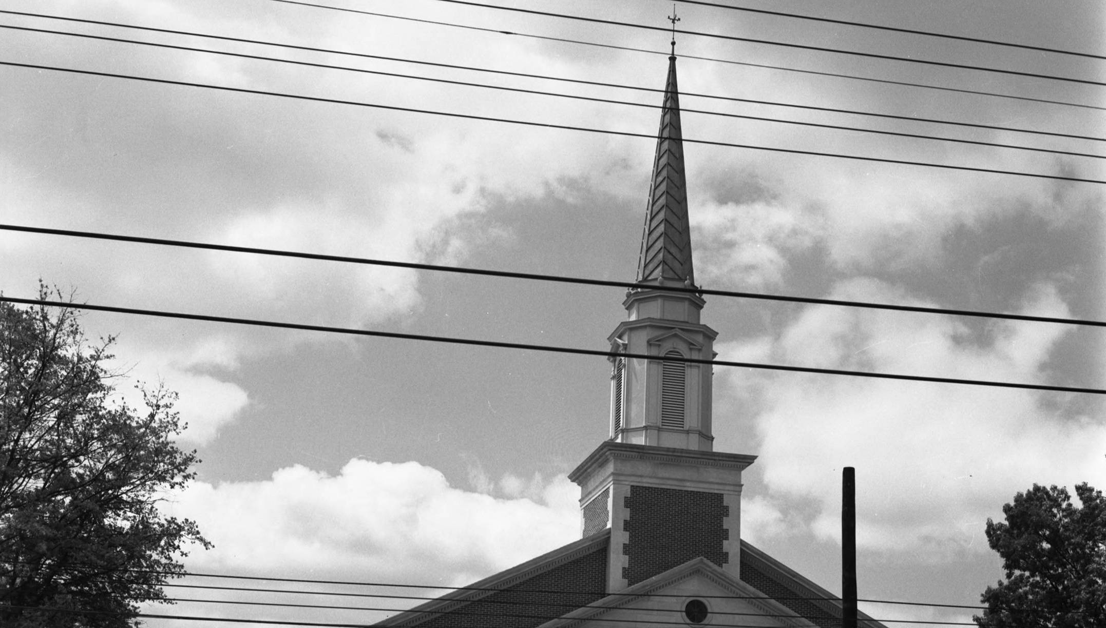
White Church Response to Neighborhood Racial Change in Atlanta, 1960-1985
This project spatially documents the responses of white churches in Atlanta to the changing racial composition of their surrounding neighborhoods between 1960 and 1985.